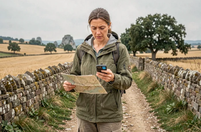
A route planner applied to the GR 65 breaks down the route from Puy-en-Velay to the Pyrenees into stages calibrated according to a daily target distance, an acceptable elevation gain, and the location of accommodations. The principle is based on an algorithm that identifies, along the marked trail, the stopping points compatible with the physical capabilities declared by the hiker. Understanding the logic of these tools allows for a realistic itinerary rather than just a simple mileage table.
GPX Track and Map Background: The Technical Foundation of a Calculator
Every calculator dedicated to the GR 65 operates from a GPX track of the marked trail. This file contains the GPS coordinates of each point along the route, along with the altitude. The software overlays this track on a map background (IGN maps at 1:25,000 for French tools) to reflect the actual terrain relief.
The quality of the track determines the reliability of the breakdown. An official track from FFRandonnée, available notably through the GR @ccess subscription on MonGR.fr, includes updates on waymarking and permanent deviations. A track downloaded from a forum or third-party site may correspond to an old route, modified since by construction work or a change in the path.
Before launching a calculation, checking the date of the track and its source remains the most cost-effective precaution. A discrepancy of a few hundred meters between the track and the actual path is enough to distort elevation gain estimates, and thus walking times. To optimize your route on the GR 65, starting from a reliable and recent track is more important than the choice of the calculator itself.

Setting the Daily Distance on the GR 65: Beyond Raw Mileage
Most calculators ask for a target distance per day. On the GR 65, the current range is between 18 and 25 kilometers for a hiker without long-distance trekking experience. The trap is to reason solely in flat kilometers.
A good tool applies a tolerance around the target distance (often plus or minus 5 kilometers) to avoid forcing a stage in a village without accommodation. It also recalculates walking time by incorporating both positive and negative elevation, which significantly alters the actual effort on certain sections of the Aubrac or the descent towards Conques.
Criteria to Provide for a Realistic Breakdown
- The daily target distance, adjusted after the first three or four days of walking if the terrain reveals a different rhythm than anticipated.
- The type of accommodation sought (gîte d’étape, guest room, municipal camping), as not all stopping points offer the same options, and a calculator filtering by category avoids unpleasant surprises.
- The planned rest days, especially in stage towns like Conques or Cahors, where a day of sightseeing alters the total number of stages.
- The time of year, which affects the seasonal opening of certain shelters and gîtes along the route.
A calculator is only useful if it knows your actual constraints, not just your mileage ambition. Entering a target distance that is too high produces an itinerary theoretically shorter in days but physically unmanageable from the first week.
Adapting Your Itinerary on the Go: Alerts and Updated Tracks
Desktop calculators produce a fixed itinerary. On the ground, conditions change. The MaRando app from FFRandonnée now integrates real-time alert streams: fire risk, section closures, temporary deviations due to fallen trees or construction. This feature transforms the calculator into a dynamic adaptation tool for the route.
On the GR 65, episodes of extreme heat during the summer push some hikers to shorten their stages or adjust their departure times. A calculator used on a smartphone allows for recalculating from the current stage, with a reduced target distance, without starting the preparation from scratch.

Exporting and Sharing Your Modified Track
After recalculation, the new track in GPX format can be exported to a hiking GPS or a compatible watch. This technical step takes a few seconds but ensures that the terrain guidance corresponds to the revised plan. Walking with an outdated track on the GPS device while the itinerary has been modified in the calculator is a classic source of navigation errors.
Some tools also allow sharing the itinerary with a loved one back home, simplifying remote tracking and logistical coordination for luggage transport between stages.
Limitations of Stage Calculators on the Camino de Santiago
No calculator models cumulative fatigue. The first days on the GR 65 serve as a warm-up, and the real pace rarely stabilizes before the fifth stage. A digital tool treats each day as independent, with the same physical capacity from the first to the last day.
The availability of accommodations constitutes another blind spot. A calculator may propose a stage in a village with only one gîte with eight places, fully booked in high season as early as May. Cross-referencing the calculator’s result with a direct check with accommodations (phone or booking platform) remains necessary.
Finally, calculators ignore the human factor of the journey: encounters, spontaneous detours, days when the body says no. Planning a flexible framework, with a margin of one to two additional stages compared to the initial calculation, produces an itinerary that withstands the realities of the journey.
The calculator sets a logistical framework. Walking, on the other hand, imposes its own corrections. Keeping the GPX track updated on your device, being willing to recalculate after a few days on the ground, and planning for adjustment margins transform a preparation tool into a useful companion throughout the GR 65.